Where I can find the map with norway tunnels where cyclists are not allowed to travel?
We strongly encourage you also to investigate other sources of information that are more tailored to the needs of cyclists, but we will of course do what we can with the tools we have. The Norwegian Public Road Administration (NPRA) are rather proud of our efforts toward an open government / open data policy.
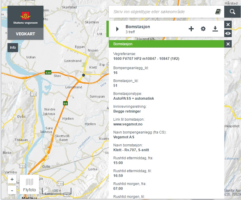
The rerverse question is much easier to answer: In which tunnels is it legal to bicycle? Tunnels registered in Norwegian Road data base should have the attribute sykkelforbud (=cycle restriction), with one of the two values Either Ja ( = sorry, no biking allowed) or Nei ( = No cycling restriction). Finding those tunnels is pretty straight forward in our web application vegkart:
Cycling in tunnels along this part county road 50 in Aurland is allowed.
There is one little snag: A tunnel in our road database is defined as a point object. What you and I think of as a tunnel — a man-made pipe caved through rock — is called tunnelløp. We define tunnels this way because a modern tunnel can be a very complicated high-tech construction with any number of pipes.
But what about finding the tunnels I can’t ride a bike in? Is that simply the reverse, i.e. sykkelforbud = Ja.
![]()
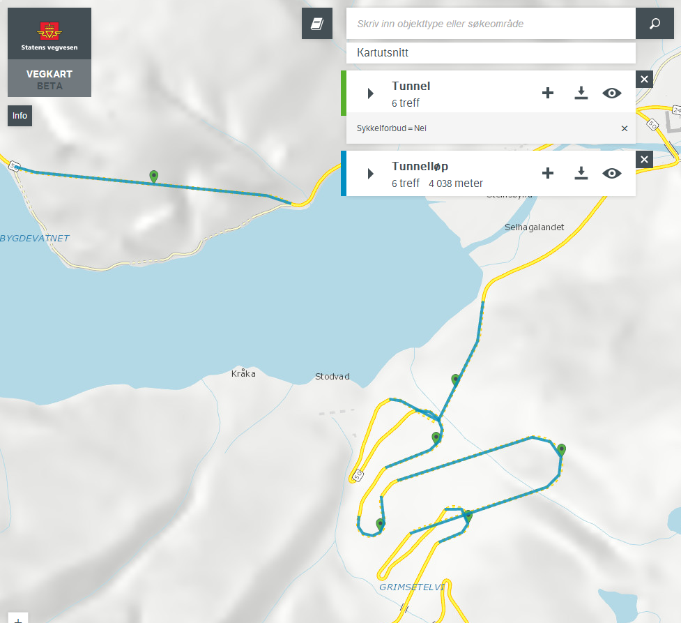
In a perfect world it would be that simple. But there are plenty of tunnels built long before anyone in the NPRA gave any thought to the idea that someone would actually want to ride a bike through a road tunnel. It is a fairly new concept that biking should be allowed in some tunnels, but not in others. So, we have plenty of tunnels where the property sykkelforbud is not defined. Can you legally ride a bike in those tunnels? Hard to say from my position at the keyboard. But here’s a map showing all combinations:
Sykkelforbud = Har ikke verdi (Undefined)
Sykkelforbud = Ja (explisitely forbidden)
Sykkelforbud = Nei (Cycling allowed)
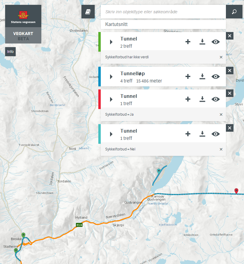
Biking restriction undefined (har ikke verdi), not allowed (sykkelforbud=Ja) and allowed (sykkelforbud=nei).
Link to this vegkart-query.
And yes, you may find this map a bit messy. Please bear in mind that our web application Vegkart is not made for tourists – it is a general tool to find and show any kind of road related object, developed for and by the NPRA.
One last note: Traffic signs take precedence over our road data base, so please respect any «No cycling» — sign.
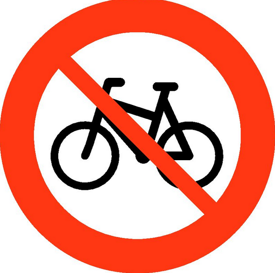
No cycling allowed.
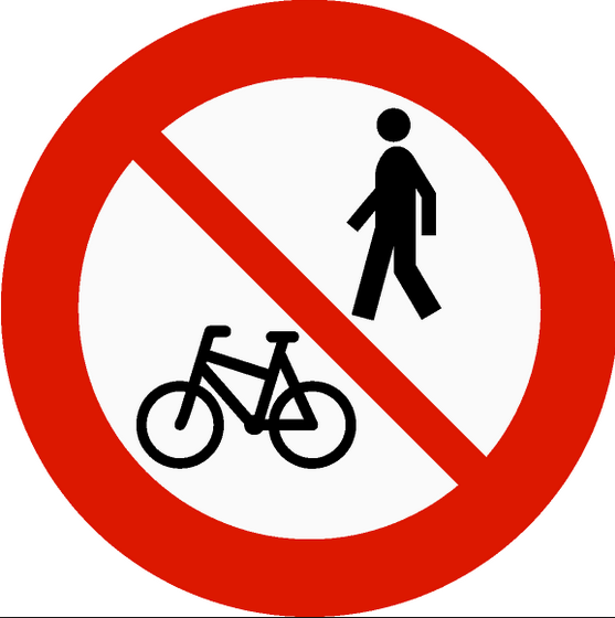
No cycling or walking